GIS SERVICES
Database Design:
Database design and Geodatabase design/architecture
is one of our specialties. We developed the GIS data
model for avalanche and snow science which was presented
at the 2004 International Snow Science Workshop at Jackson
Hole, Wyoming.
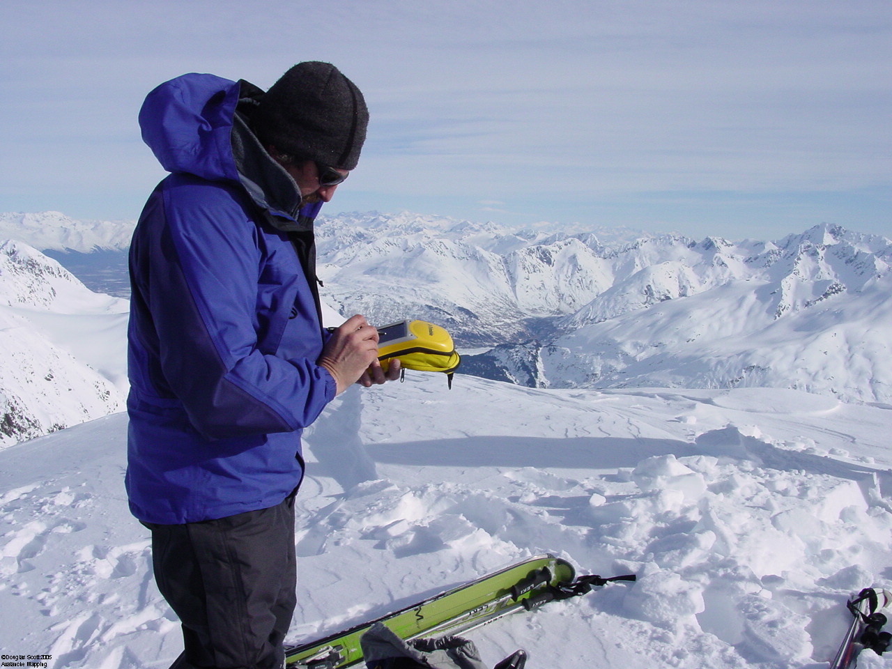
Custom GIS Data:
Our other specialty is creating avalanche atlas's and
geodatabases of legacy data, base data creation, integration
of ASC II files,and data to be used in mobile devices.
GIS Instruction:
Avalanche Mapping offers custom classes for Instruction
of ArcGIS Desktop as well as ArcPad, ArcMobile and Collector
for Mobile GIS use of your data. A list of clients that
have utilized our GIS Training Services is
Here.
Information for ArcPad.